


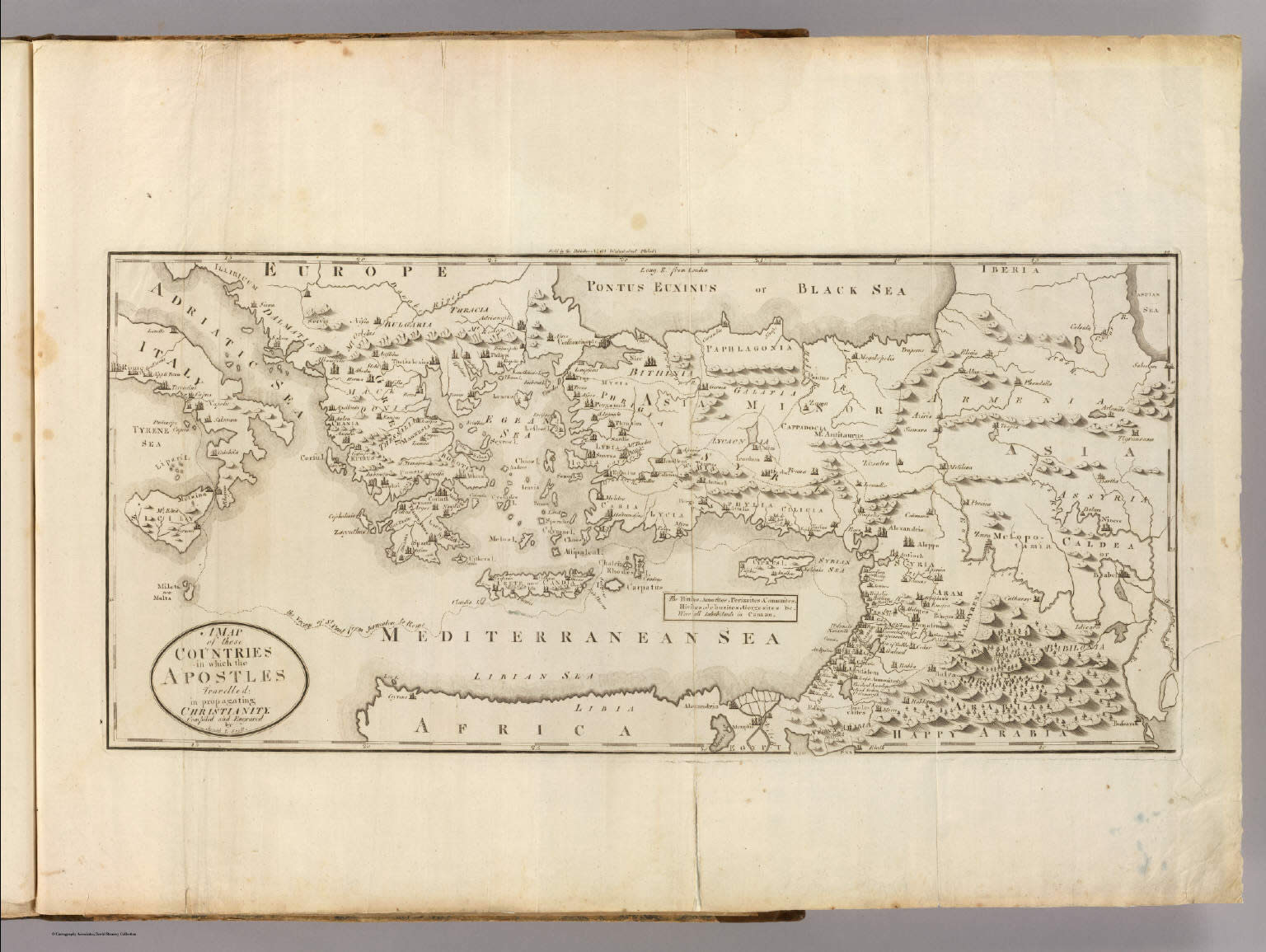
A Map of those Countries in which the Apostles Travelled: in
propagating Christianity. Compiled and Engraved by Joseph T.
Scott. Sold by the Publisher No. 65 Walnut street Philada.
who: Carey, Mathew; M. Carey; Scott, Joseph T.
what: Religious; World Atlas; Atlas Map
when: 1811
where: Greece; Turkey
Author: Carey, Mathew
Date: 1811
Short Title: Countries ... Apostles Travelled: in
propagating Christianity.
Publisher: Philadelphia: M. Carey
Type: Atlas Map
Obj Height cm: 28
Obj Width cm: 60
Scale 1: 6,000,000
Note: Uncolored.
Country: Turkey ; Greece
Subject: Religious
Region: Balkan Peninsula ; Europe, Eastern
Full Title: A Map of those Countries in which the
Apostles Travelled: in propagating Christianity. Compiled and
Engraved by Joseph T. Scott. Sold by the Publisher No. 65 Walnut
street Philada.
List No: 4863.049
Publication Author: Carey, Mathew
Pub Date: 1811
Pub Title: Carey's General Atlas ... Philadelphia:
Published By M. Carey. April, 1811. (Price Ten Dollars Plain -
Twelve Dollars Coloured.) N.B. The maps marked with a star, are
not in any London Atlas.
Pub Reference: Walsh p. 136; cf P1222 (American Atlas, 1809),
P3535 (1802 General Atlas), P6021 (1804 General Atlas).
Pub Note: This edition not in Phillips. This is the last
edition of Carey's General Atlas that uses the maps from the
1795 American Atlas and 1795 General Atlas For Guthrie's
Geography essentially unchanged, except for imprint date on some
of them. Carey produced editions of the General atlas in 1800
(Yale), 1802 and 1804; those editions have maps with the same
imprint dates (1794 and 1795) as the first editions, and add
four maps: the Plat of the Seven Ranges, Map of Part of the N:W:
Territory, St. Domingue, and Countries in which the Apostles
traveled. In 1809 Carey reissued the American Atlas with the
same set of American maps as the 1802 and 1804 General Atlas,
and added a small map of Louisiana from Carey's Pocket Atlas of
1805. Several of the maps (British Possessions, United States,
New York, and Virginia) bear 1809 imprints, although it is not
obvious that any changes to the geography were made on any of
the maps. This group of American maps from the 1809 American
Atlas, along with the non American maps from the 1804 General
Atlas, make up the 1811 General Atlas. The maps are bound on
edge, large folio style, with the title pasted to the inside
front cover (the Yale copy is the same). The Plat of the Seven
Ranges is the scarce second issue (Wheat/Brun 677, with Carey's
Imprint and Barker as engraver) and the large Map of Part of the
N:W: Territory (Wheat/Brun 678) is the first (1796) and only
issue. The Louisiana map is unusual in having extremely large
blank borders. This 1811 General Atlas appears to be the
scarcest of the pre 1814 editions of the General Atlas. In 1814
Carey did a major revision of the maps for "Carey's General
Atlas, Improved and Enlarged" by making 32 "all new" maps and
having the other 26 maps "retouched, and, where necessary,
corrected." This atlas is bound in half leather, marbled paper
covered boards.
<< BACK